Facts about Albania: Geography, Capital and Key Information
Introduction
Facts about Albania highlight a Balkan country where mountains, historic sites, and a long coastline come together in a compact area. Albania is often described as one of Europe’s most geographically varied countries, with high peaks inland and Mediterranean landscapes by the sea. Its history connects ancient Greek and Roman worlds with medieval fortresses and modern national identity. This article brings together key information—especially official facts from our country references—so students, teachers, and curious readers can quickly understand Albania’s place in Europe.
Quick Facts about Albania
- Capital city: Tirana (around 536,000 people)
- Population (approx.): Around 2,400,000 people
- Area (km²): 28,748 km²
- Currency: Albanian lek (ALL)
- Official language(s): Albanian
- National Day: 28 November
Geography and Landscape
Albania lies in Southeastern Europe on the Balkan Peninsula. Although its area is 28,748 km², the landscape changes quickly from one region to the next. Much of the country is mountainous and hilly, creating dramatic views, steep valleys, and small settlements spread across higher ground. One of the clearest indicators of Albania’s rugged terrain is its highest mountain: Maja e Korabit, reaching 2,764 meters. This peak stands near the eastern border and is a defining feature of the country’s mountain geography.
Between the mountain ranges are river valleys and plains that support farming and larger population centers. Albania’s rivers and waterways have shaped settlement patterns for centuries, providing routes through difficult terrain and water for agriculture. Along the western edge of the country, Albania opens to the sea, which influences both climate and lifestyle. Coastal areas tend to have milder winters and warmer summers than the interior, while higher elevations experience colder conditions and more severe winter weather.
Albania’s coastline is an important part of its geography. It includes beaches, coves, and coastal plains, as well as rocky stretches where the land meets the sea more sharply. The coastal location has historically connected Albania to trade and travel across the Adriatic and Mediterranean regions.
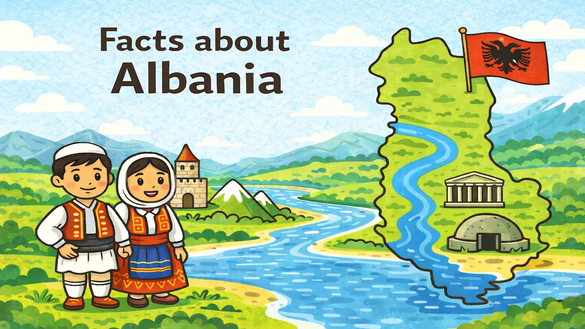
Several well-known landmarks also reflect how geography and history intersect. Butrint, described as an ancient Roman and Greek city, is a key example of Albania’s deep historical layers set within a distinctive natural environment. In the north, Rozafa Castle near Shkodër stands prominently above surrounding waterways, demonstrating how hills and strategic high points were used for defense. In southern Albania, Syri i Kaltër—a famous natural spring—highlights the country’s notable water landscapes, with clear water emerging from underground sources and forming a striking natural site.
When you study Albania on a map, it becomes easy to see why the country’s landscape feels so diverse: mountains rise close to lower valleys, and inland terrain transitions into coastal areas over relatively short distances. This combination makes Albania a strong case study for students learning how relief, climate, and location shape human settlement and national development.
Population and Culture
Albania’s population is around 2,400,000 people, and its capital, Tirana, has around 536,000 people. The country’s other larger cities include Durrës, Kashar, Elbasan, Vlorë, Kamza, and Shkodër, which serve as important regional centers for transport, education, and cultural life.
The official language is Albanian, a major part of national identity. Albania’s cultural traditions have developed through a long history of regional interaction, including influences from the ancient Mediterranean world and later European and Ottoman-era connections. Today, Albania is known for strong family ties, hospitality, and pride in local traditions that vary from region to region.
Cultural identity is also shaped by historical figures and internationally recognized names. The country is associated with Mother Teresa, widely known for her humanitarian work; Ismail Kadare, an influential writer; and Gjergj Kastrioti Skanderbeg, a national hero remembered for resistance and leadership in Albanian history. These figures represent different aspects of Albania’s story—faith and service, literature, and national independence—making them useful reference points for teaching and learning.
Albania’s National Day on 28 November is a key annual moment for remembering the country’s independence and identity. Celebrations often emphasize history, national symbols, and a shared sense of belonging, connecting modern Albania with its historical roots.
3 Interesting Facts about Albania
-
Tirana is both the political and population center.
With around 536,000 people, the capital is Albania’s largest city and a major hub for education, culture, and government. -
Albania’s highest point is Maja e Korabit (2,764 meters).
This mountain is a standout feature of the country’s rugged interior and helps explain why so much of Albania has steep terrain and dramatic elevation changes. -
Albania includes major historic and natural landmarks in a small area.
The country is home to Butrint (an ancient Roman and Greek city), Rozafa Castle near Shkodër, and Syri i Kaltër (a famous natural spring), showing how Albania combines cultural heritage and natural geography.
Where is Albania Located?
Albania is located in Southeastern Europe, within the Balkan region. It borders Greece, North Macedonia, Kosovo, and Montenegro, placing it at an important crossroads between different parts of the Balkans. Its western side faces the sea, which has helped connect Albania historically to wider Mediterranean trade routes and cultural exchange.
Because Albania sits between mountainous inland borders and a coastal western edge, it has developed with both land-based regional ties and maritime connections. On a map of Europe, Albania’s position helps explain its blend of influences and the strategic importance of its terrain and coastline.
Discover More About European Countries
If you enjoy learning facts about Albania, exploring more European countries becomes much easier when information is presented in a clear, consistent format. Hofma Publishing’s country books combine maps and carefully selected facts to support geography learning in classrooms, home study, or general reference—making it simple to compare countries, remember key details, and build a stronger understanding of Europe.
-
The European Countries Book – Extended Color Edition
https://www.amazon.com/dp/B0G33G45CJ -
The European Countries Book – Color Edition
https://www.amazon.com/dp/B0FX9C7TS5 -
The European Countries Book – Black & White Edition
https://www.amazon.com/dp/B0FDRXJX7C