Facts about Armenia: Geography, Capital and Key Information
Introduction
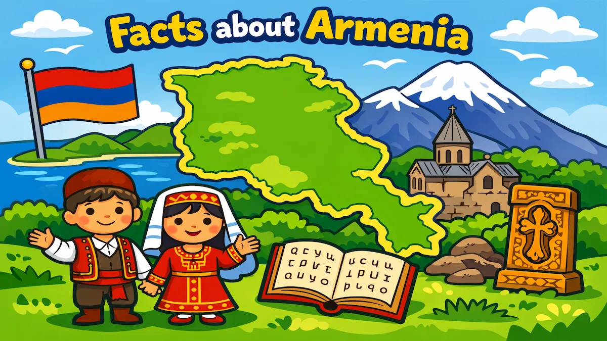
Armenia is a small but historically rich country located at the crossroads of Europe and Asia. Known for its ancient traditions, mountainous landscapes and deep cultural heritage, it has played an important role in regional history for thousands of years. Many students begin their exploration of the Caucasus region by learning key facts about Armenia, including its capital city, geography and cultural identity. Despite its modest size, Armenia offers a fascinating combination of natural beauty and historical significance.
Quick Facts about Armenia
- Capital city: Yerevan
- Population (approx.): Around 2,800,000 people
- Area (km²): 29,743 km²
- Currency: Armenian dram
- Official language(s): Armenian
- National Day: 21 September (Independence Day)
Geography and Landscape
Armenia is a landlocked country characterized by rugged mountains, high plateaus and deep river valleys. Much of the country lies at a high elevation, with an average altitude of around 1,800 meters above sea level. The landscape is dominated by the Lesser Caucasus mountain range, giving Armenia dramatic scenery and a cooler climate than many surrounding regions.
One of the most important natural features of Armenia is Lake Sevan, one of the largest high-altitude freshwater lakes in the world. The lake plays a crucial role in the country’s ecosystem, economy and tourism. Its blue waters contrast beautifully with the surrounding mountains.
Although Mount Ararat is now located just across the border in Turkey, it remains a powerful national symbol for Armenians and can be clearly seen from many parts of the country, including the capital. Armenia’s terrain makes agriculture challenging in some areas, but fertile valleys support the cultivation of fruits, vegetables and grains. The varied elevation also creates different climate zones, ranging from cold winters in the mountains to warmer summers in lower areas.
Because Armenia has no coastline, it relies on land routes for trade. Its mountainous geography has historically provided natural protection, but it has also influenced settlement patterns, transportation and economic development.
Population and Culture
Armenia has a population of approximately 2,800,000 people. The majority of the population is ethnically Armenian, creating a strong sense of shared cultural identity. The official language is Armenian, which has its own unique alphabet developed in the early 5th century. This alphabet remains a central part of national pride and education.
Armenia is one of the oldest Christian nations in the world. Christianity became the state religion in the early 4th century, and the Armenian Apostolic Church continues to play an important role in cultural and spiritual life. Across the country, ancient monasteries and churches stand as reminders of this long religious tradition.
Family, hospitality and respect for tradition are highly valued in Armenian society. Traditional music, dance and crafts remain important, especially during festivals and national celebrations. Independence Day, celebrated on 21 September, marks Armenia’s independence and is a significant national holiday.
Yerevan, the capital city, is the political, cultural and economic center of the country. It is one of the oldest continuously inhabited cities in the world and combines historic landmarks with modern development. Museums, theaters and public squares make it a vibrant urban center while still reflecting Armenia’s deep historical roots.
3 Interesting Facts about Armenia
-
One of the oldest Christian countries.
Armenia adopted Christianity as a state religion in 301 AD, making it one of the first nations in the world to do so. -
A unique alphabet.
The Armenian alphabet was created in 405 AD and consists of its own distinct letters, still used today in schools, literature and daily life. -
A symbolic mountain.
Although Mount Ararat is located outside Armenia’s current borders, it remains a national symbol and appears on the country’s coat of arms.
Where is Armenia Located?
Armenia is located in the South Caucasus region at the boundary between Eastern Europe and Western Asia. It is generally considered part of Europe in cultural and political contexts, though geographically it lies in a transitional zone.
Armenia shares borders with Turkey to the west, Georgia to the north, Azerbaijan to the east, and Iran to the south. Its landlocked position has significantly influenced its history and trade relationships.
The country’s location has made it a crossroads of civilizations for centuries. Empires and trade routes have passed through the region, contributing to Armenia’s rich cultural heritage. Today, its position between Europe and Asia continues to shape its political and economic connections.
Discover More About European Countries
If you enjoy learning about Armenia, you can explore many more countries across the continent in our European country guides. These books are designed for students, teachers and curious readers who want clear facts, engaging explanations and structured geographic knowledge about every European nation.
-
The European Countries Book – Extended Color Edition
https://www.amazon.com/dp/B0G33G45CJ -
The European Countries Book – Color Edition
https://www.amazon.com/dp/B0FX9C7TS5 -
The European Countries Book – Black & White Edition
https://www.amazon.com/dp/B0FDRXJX7C