Facts about Croatia: Geography, Capital and Key Information
Introduction
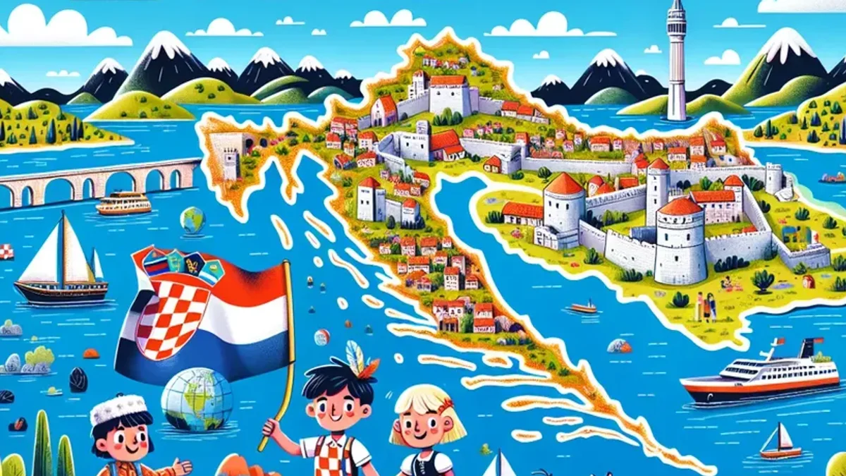
Facts about Croatia reveal a country of extraordinary natural beauty, ancient cities, and a coastline that stretches along some of the clearest water in all of Europe. Situated in southeastern Europe on the Adriatic Sea, Croatia declared independence in 1991 following the dissolution of Yugoslavia and has since established itself as a stable, prosperous member of the European Union and NATO. Its territory spans from the flat agricultural plains of Slavonia in the east to the rugged Dinaric Alps and a spectacular Adriatic coast with more than 1,200 islands. From the medieval walls of Dubrovnik to the cascading lakes of Plitvice, Croatia combines dramatic landscapes with a deep and layered history that draws visitors from across the world.
Quick Facts about Croatia
- Capital city: Zagreb
- Population (approx.): 3,900,000
- Area (km²): 56,594 km²
- Currency: Euro (€)
- Official language(s): Croatian
- National Day: 25 June (Statehood Day)
Geography and Landscape
Croatia can be divided into three distinct geographical regions, each with its own character. To the northeast lies the Pannonian Plain, a flat and fertile agricultural zone that extends into neighboring Hungary and Serbia. This lowland region is drained by the Sava and Drava rivers and is home to much of Croatia’s farming activity, producing cereals, sugar beet, and wine grapes. Slavonia, as this region is commonly known, has a continental climate with warm summers and cold, sometimes snowy winters.
Moving westward, the Pannonian Plain rises sharply into the Dinaric Alps, a chain of limestone mountains running parallel to the Adriatic coast. The highest point in Croatia is Dinara, reaching 1,831 metres above sea level on the border with Bosnia and Herzegovina. These mountains are characterized by karst terrain — a landscape of caves, sinkholes, and underground rivers formed by the slow dissolution of limestone over millions of years. The karst environment creates striking surface features that are unlike most other mountain ranges in Europe.
The most celebrated part of Croatia’s geography is its Adriatic coastline, which runs for approximately 1,777 kilometres along the mainland and considerably more once its islands are included. Croatia has 1,244 islands, islets, and reefs in the Adriatic Sea, of which around 50 are permanently inhabited. The largest islands include Krk, Cres, Brač, and Hvar, each offering a distinct combination of landscape, history, and local culture. The Adriatic waters along the Croatian coast are exceptionally clear, benefiting from the relatively low flow of sediment-carrying rivers into this part of the sea.
Plitvice Lakes National Park, designated a UNESCO World Heritage Site in 1979, is one of Croatia’s most iconic natural landmarks. Located in the Dinaric karst region, the park features sixteen terraced lakes connected by a series of waterfalls, their vivid turquoise and emerald colors produced by the natural deposition of calcium carbonate in the limestone bedrock. The park attracts over 1.5 million visitors annually and remains one of the most photographed places in all of Europe.
Population and Culture
Croatia has a population of approximately 3.9 million people, the large majority of whom are ethnic Croats. The Croatian language uses the Latin alphabet and belongs to the South Slavic branch of the Indo-European language family, closely related to Serbian and Bosnian. Roman Catholicism is the dominant religion and has played a significant role in shaping Croatian culture, traditions, and public life for over a millennium.
Zagreb, the capital, is the country’s largest city and its political, economic, and cultural center, home to major museums, universities, and a lively café culture. The second city of Split, on the Dalmatian coast, is built directly around the remains of Diocletian’s Palace — a vast Roman imperial complex constructed around 305 AD, much of which still stands and remains in active use, with apartments, restaurants, and galleries occupying its ancient corridors and courtyards. The old city of Dubrovnik, enclosed within massive medieval stone walls on a rocky peninsula overlooking the Adriatic, is another UNESCO World Heritage Site and perhaps the most recognizable city in Croatia.
Croatian culture reflects the many civilizations that have passed through the region — Roman, Byzantine, Venetian, Ottoman, and Austro-Hungarian influences are all visible in architecture, cuisine, and local traditions. Croatia also has a strong sporting tradition. The national football team finished as World Cup runners-up in 2018 and claimed bronze at the 2022 tournament, remarkable achievements for a country of fewer than four million people.
3 Interesting Facts about Croatia
-
The necktie was invented in Croatia. During the Thirty Years’ War in the seventeenth century, Croatian soldiers wore a distinctive knotted scarf around the neck. French troops, noticing the style, adopted it and named it a “cravate” — derived from the French word for Croat. The modern necktie traces its origins directly to this Croatian military tradition.
-
Croatia is home to the world’s smallest town. Hum, a walled settlement in the Istrian peninsula, holds the Guinness World Record as the world’s smallest town, with a population of fewer than 30 people. Its stone walls and church date back to the twelfth century, and the town has survived remarkably intact.
-
The island of Vis was closed to foreign visitors until 1989. Due to its role as a Yugoslav naval base, Vis was off-limits to tourists for decades. Since opening, it has become one of the most unspoiled and sought-after destinations in the Adriatic, celebrated for its clear waters, wine, and relaxed pace.
Where is Croatia Located?
Croatia is located in southeastern Europe, positioned along the eastern shore of the Adriatic Sea. Its distinctive boomerang shape means it shares borders with several countries. To the northwest lies Slovenia, and to the northeast, Hungary. Serbia borders Croatia to the east, while Bosnia and Herzegovina forms a long and winding border running through the country’s interior. Montenegro lies to the far south. Across the Adriatic Sea to the west is Italy. Croatia’s unusual shape means that it partially surrounds Bosnia and Herzegovina, which has only a narrow strip of coastline at Neum separating the two main parts of Croatia along the Dalmatian coast.
Croatia joined the European Union in 2013 and in January 2023 became the most recent country to join both the Schengen Area and the Eurozone, adopting the euro as its official currency and enabling passport-free travel across much of the continent.
Discover More About European Countries
If learning about countries like Croatia sparks your curiosity, our World Explorer book series is designed for exactly that. Each edition covers the geography, history, culture, and key facts of dozens of European countries in a clear, visual, and reader-friendly format — ideal for students, home learners, and anyone with a genuine interest in the wider world.
The European Countries Book – Extended Color Edition https://www.amazon.com/dp/B0G33G45CJ
The European Countries Book – Color Edition https://www.amazon.com/dp/B0FX9C7TS5
The European Countries Book – Black & White Edition https://www.amazon.com/dp/B0FDRXJX7C