Facts about Portugal: Geography, Capital and Key Information
Introduction
Facts about Portugal reveal a country of remarkable contrasts at the far western edge of Europe. Situated on the Iberian Peninsula, Portugal is bordered by Spain to the north and east and faces the Atlantic Ocean along its entire western and southern coastline. The country also includes the Azores and Madeira archipelagos in the Atlantic, which extend Portugal’s geography well beyond the European mainland. Facts about Portugal show a nation shaped by centuries of maritime exploration, a diverse natural landscape, and a culture rooted in the sea. Whether you are a student, teacher, or geography enthusiast, Portugal offers an instructive example of how location and landscape have shaped a European nation.
Quick Facts about Portugal
- Capital city: Lisbon
- Population (approx.): Around 10,200,000 people
- Area (km²): 92,212 km²
- Currency: Euro (€)
- Official language(s): Portuguese
- National Day: 10 June
Geography and Landscape
Portugal occupies the southwestern corner of the Iberian Peninsula in Southern Europe. Its total area of 92,212 km² includes the mainland territory as well as the Azores and Madeira archipelagos, giving Portugal a geography that spans both continental Europe and mid-ocean island territories.
On the mainland, the landscape varies significantly from north to south. The northern interior is mountainous and green, with the Serra da Estrela range marking the highest point on the Portuguese mainland at 1,993 metres. The Douro Valley in the north is renowned for its steep terraced vineyards, and the Douro River flows westward from Spain before reaching the Atlantic near Porto. Moving south, the terrain flattens and becomes drier. The Alentejo is a vast plain of rolling countryside, cork oak forests, and olive groves. The southernmost region, the Algarve, is known for its warm climate, limestone cliffs, and beaches along the Atlantic coast.
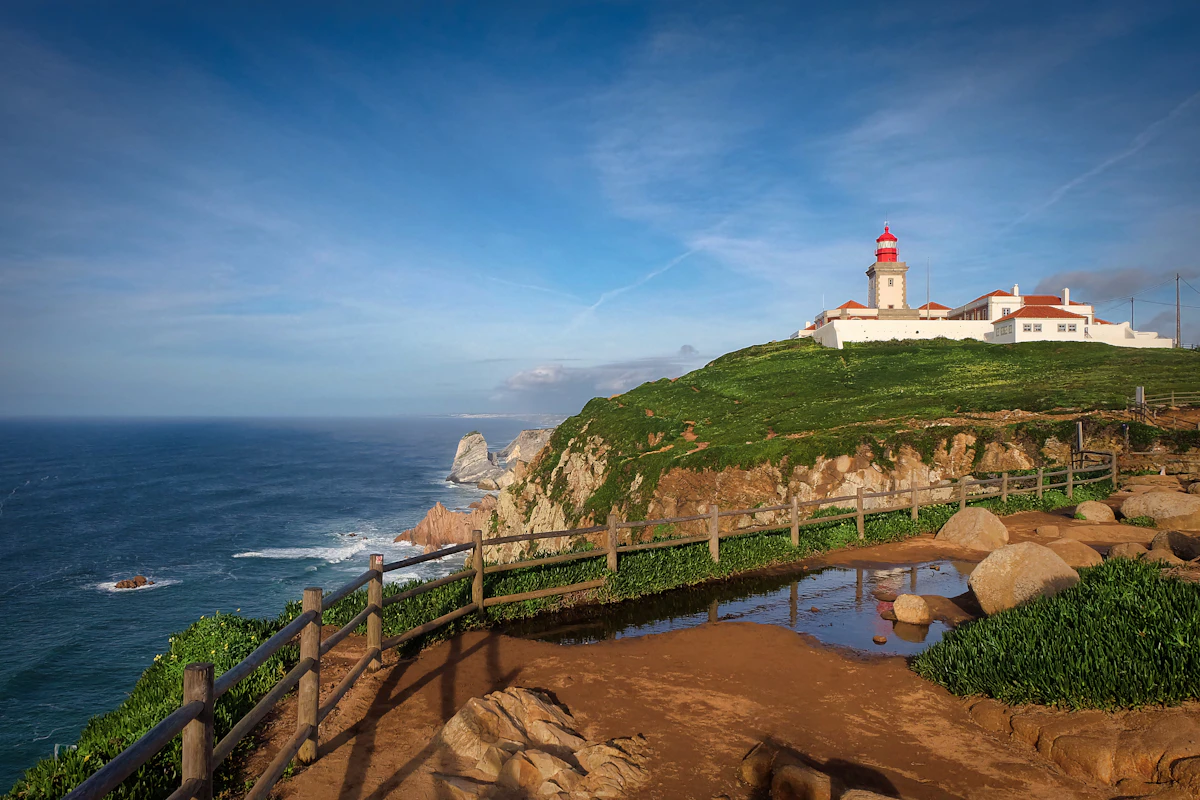
Portugal’s Atlantic coastline extends for more than 1,700 kilometres including the islands. This coastline has shaped the country’s history, supporting centuries of maritime trade and exploration. The Tagus River, which crosses the Iberian Peninsula from east to west, forms a wide natural estuary at Lisbon that has made the capital a strategically important port for centuries.
The Azores archipelago, located roughly 1,500 kilometres west of Lisbon in the mid-Atlantic, is geologically distinct from the mainland. The nine islands rise from the junction of three tectonic plates and feature volcanic landscapes, hot springs, and crater lakes. Madeira, approximately 900 kilometres to the southwest, is known for its steep cliffs, laurel forests, and mild climate.
Population and Culture
Portugal has a population of approximately 10.2 million people. Lisbon, the capital, is the largest city and serves as the centre of government, commerce, and culture. Other major cities include Porto in the north, Braga, Coimbra, and Faro in the south. Coimbra is historically significant as the home of one of Europe’s oldest universities, established in 1290.
Portuguese is the official language and is spoken by more than 250 million people worldwide, reflecting Portugal’s historical connections with Brazil, Africa, and parts of Asia. This global reach of the language is a direct result of Portugal’s Age of Exploration in the 15th and 16th centuries, when Portuguese navigators charted sea routes to India, the Americas, and beyond.
Portuguese culture is closely connected to the sea and to the concept of saudade — a word that describes a longing for something loved and distant. Fado, the country’s traditional music, expresses this feeling through mournful melodies and poetic lyrics. It is recognised by UNESCO as part of the Intangible Cultural Heritage of Humanity.
Portugal’s National Day on 10 June commemorates the death of the national poet Luís de Camões, author of the epic poem Os Lusíadas, which celebrated the country’s age of discovery. The day also honours all Portuguese communities living abroad.
3 Interesting Facts about Portugal
-
Portugal has some of the oldest national borders in Europe. Portugal’s current borders with Spain were established in 1297, making them among the most stable on the continent. While much of Europe saw repeated border changes over the following centuries, Portugal’s territorial outline has remained largely unchanged for more than 700 years.
-
Portugal produces more than half of the world’s cork supply. The cork oak forests of the Alentejo region are among the most productive in the world. Cork is harvested by hand by stripping the bark from living trees, a process that has changed little over centuries and is considered one of Europe’s most sustainable traditional industries.
-
The Azores sit on the junction of three tectonic plates. The nine islands of the Azores rise from the Mid-Atlantic Ridge, where the North American, Eurasian, and African plates meet. This geological position gives the islands their volcanic character, including geysers, fumaroles, and calderas filled with crater lakes.
Where is Portugal Located?
Portugal is located in Southwestern Europe on the western side of the Iberian Peninsula. It shares its only land border with Spain, which lies to the north and east. To the west and south, Portugal faces the Atlantic Ocean. Within Europe, Portugal occupies the southwestern tip of the continent, making it one of the most westerly countries on the European mainland.
The country also governs two autonomous island groups in the Atlantic: the Azores to the west and Madeira to the southwest. This combination of mainland and island territory gives Portugal a unique geographic range for a relatively small European nation. Portugal’s position at the edge of Europe, facing the open Atlantic, made it a natural departure point for maritime exploration and has shaped its history, culture, and global connections.
Discover More About European Countries
Learning facts about Portugal is a strong starting point for exploring the wider geography of Europe. Hofma Publishing has developed a series of books that bring together key facts, maps, and country profiles in a clear and consistent format — designed for students, teachers, homeschoolers, and anyone curious about European geography.
The European Countries Book – Extended Color Edition https://www.amazon.com/dp/B0G33G45CJ
The European Countries Book – Color Edition https://www.amazon.com/dp/B0FX9C7TS5
The European Countries Book – Black & White Edition https://www.amazon.com/dp/B0FDRXJX7C